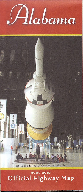
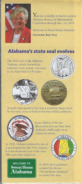
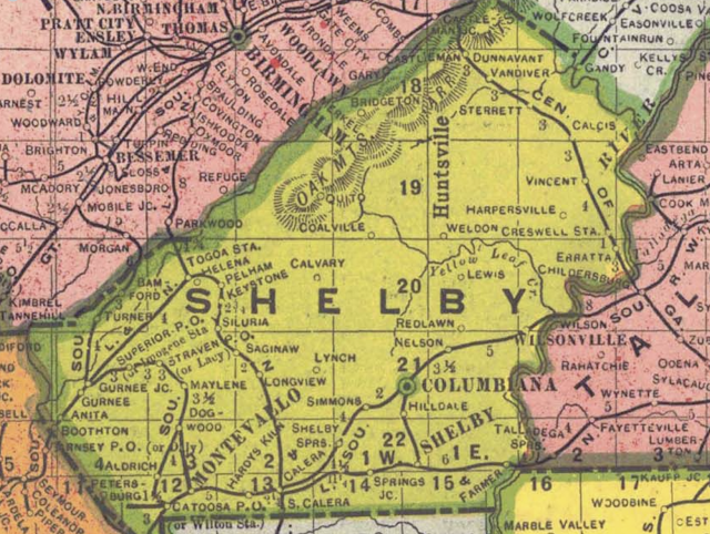
An interest in maps seems to run in our family; dad was the one who started it all. Over the years I've collected a number of Alabama highway maps, including the "official" ones issued each year by the state government and available in rest stops along the interstates and welcome stations at the state line. In this post I'm exploring some of these maps. Their front and back covers can tell us some interesting things; let's investigate.
Highway maps began to appear in the United States around World War I as private and military traffic increased. Rand McNally issued its first highway map in 1917. Alabama issued a road map as early as 1914. However, many of those roads were probably impassable by motorized vehicles! I've done a blog post on early Alabama road maps here.
By the 1950's states and map and gas companies were issuing what we think of as highway maps. I used to enjoy getting these [they were free then] on trips as we stopped at Texaco and other stations. AAA has a good history of these maps on its web site.
I'm not sure when Alabama began issuing what we find at today's rest stops as "official" highway maps. The earliest in my collection is 1976. Many of these maps are shown below; I've left comments on some. You can find a second selection of these maps here. The Alabama Department of Transportation issues these maps "for free distribution only."


